
![]()
![]()
![]()
Directions: For directions, please visit this map.
Use: Canoes, kayaks, small boats.
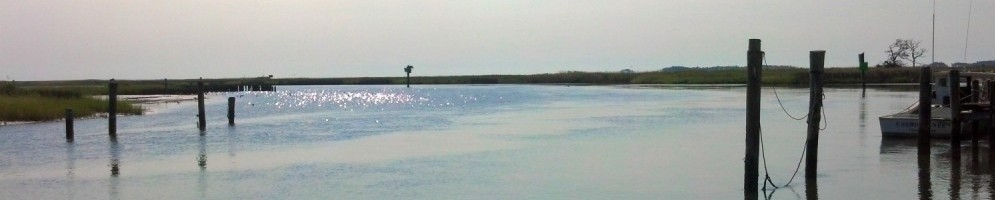
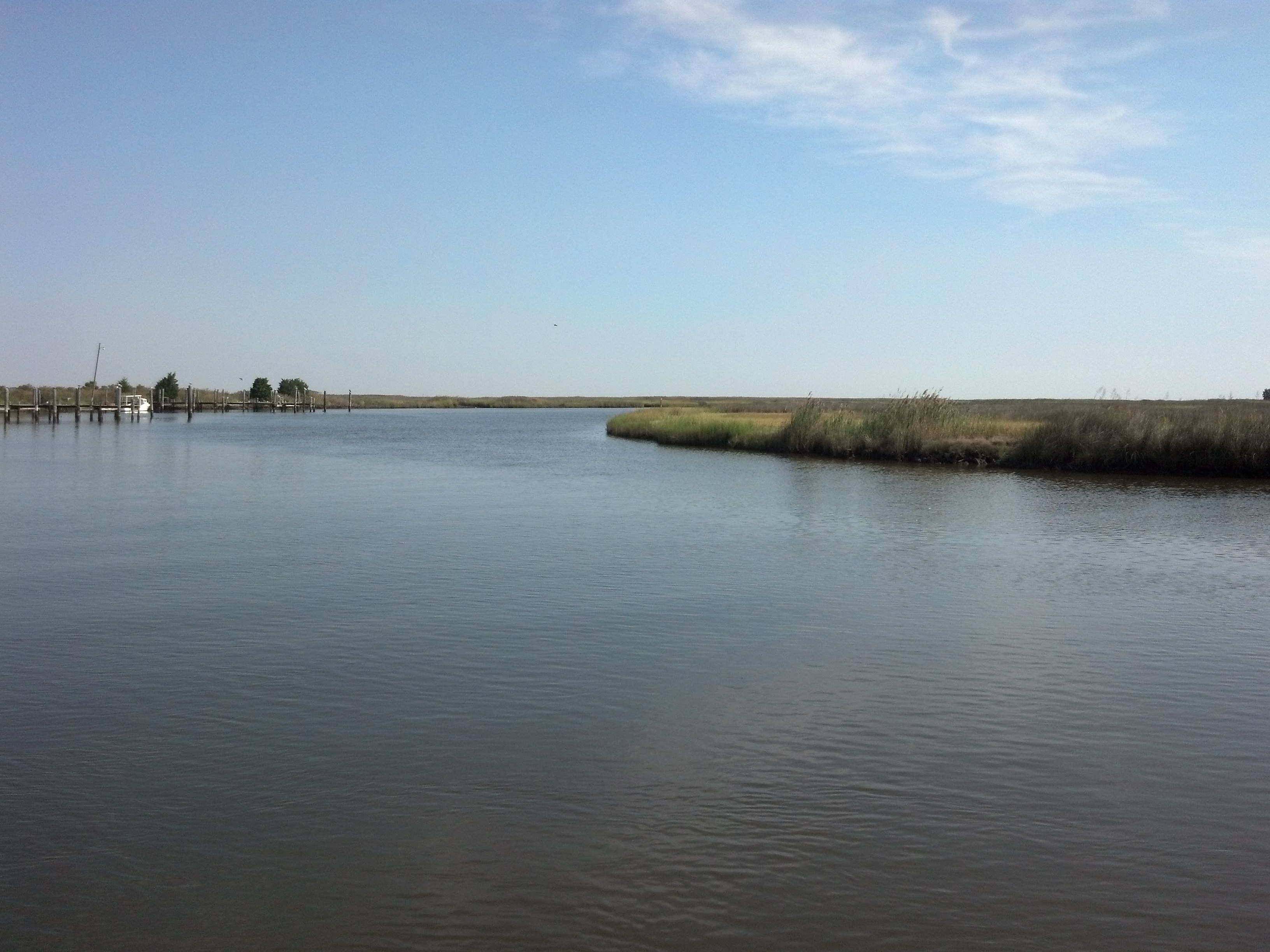
Water: Brackish. Launches near the mouth of Farm Creek, which leads into the wide, open Fishing Bay. Site is parallel with Elliott Island on the eastern shore of Fishing Bay.
Current: Strong
Depth: Deep. Shipping channel with active workboats nearby.
Parking: Shoulder parking only. There are commercial parking lots, but paddlers should not park there unless they have express permission from landowners.
Restrooms: No
Fees: No
Managed by: Dorchester County Dep’t Public Works, Highway Division
Accessible: No
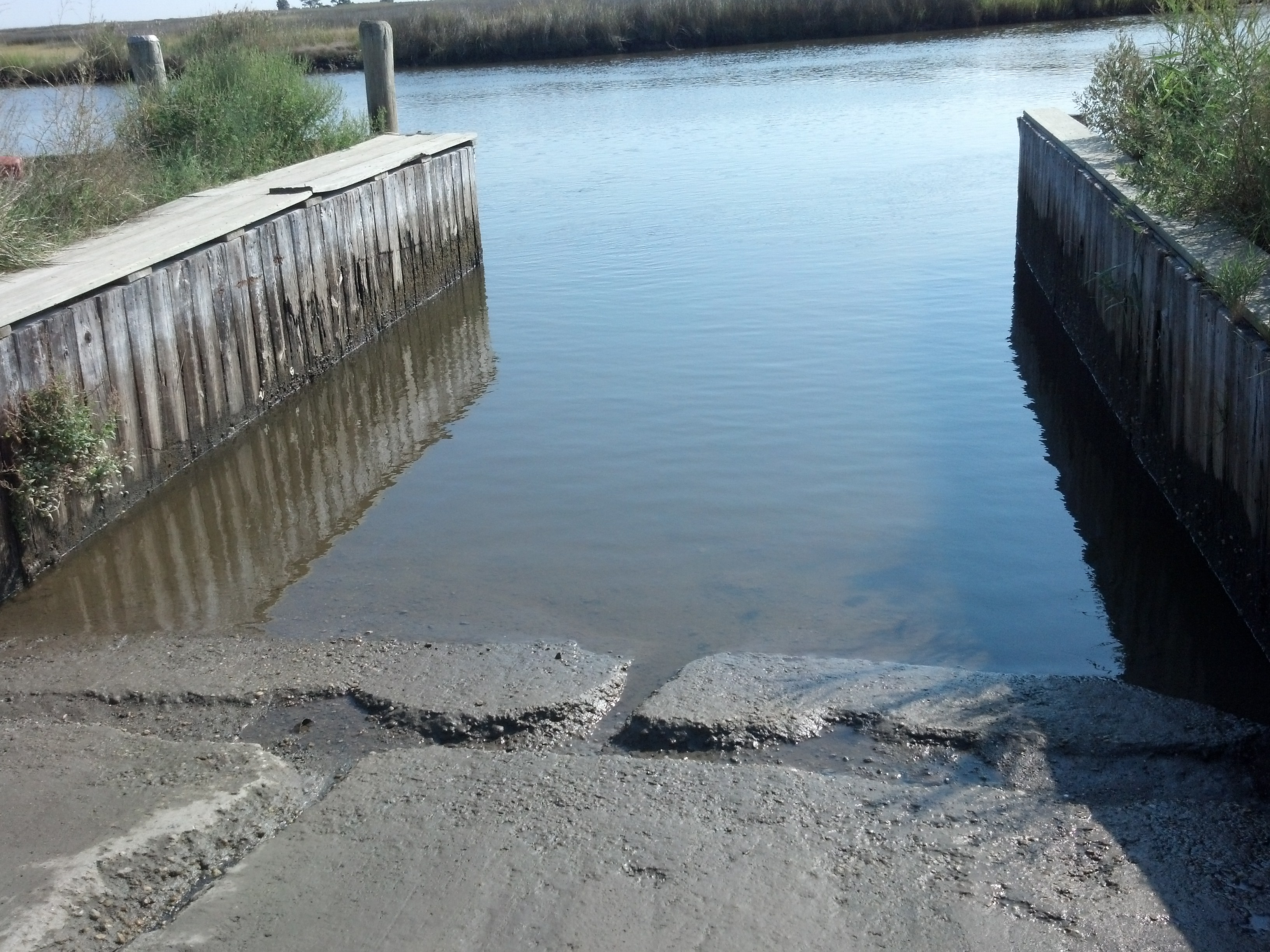
Boat Ramp or Pier: Yes. Concrete ramp.
Picnic Area: No
Swimming: No
Special Notes: This is a busy commercial area. Boaters will pass by a private boat ramp prior to reaching the public ramp. Look for the “Toddville Public Boat Ramp” sign. There are many workboats docked in the area. Boaters, especially paddlers, should be very aware of larger vessels and exercise caution. The local roadways can become flooded during high tide, and boaters should be mindful of wind and tide and exercise caution when planning a trip.
Additional information about this access site, provided by MD DNR, is available here.
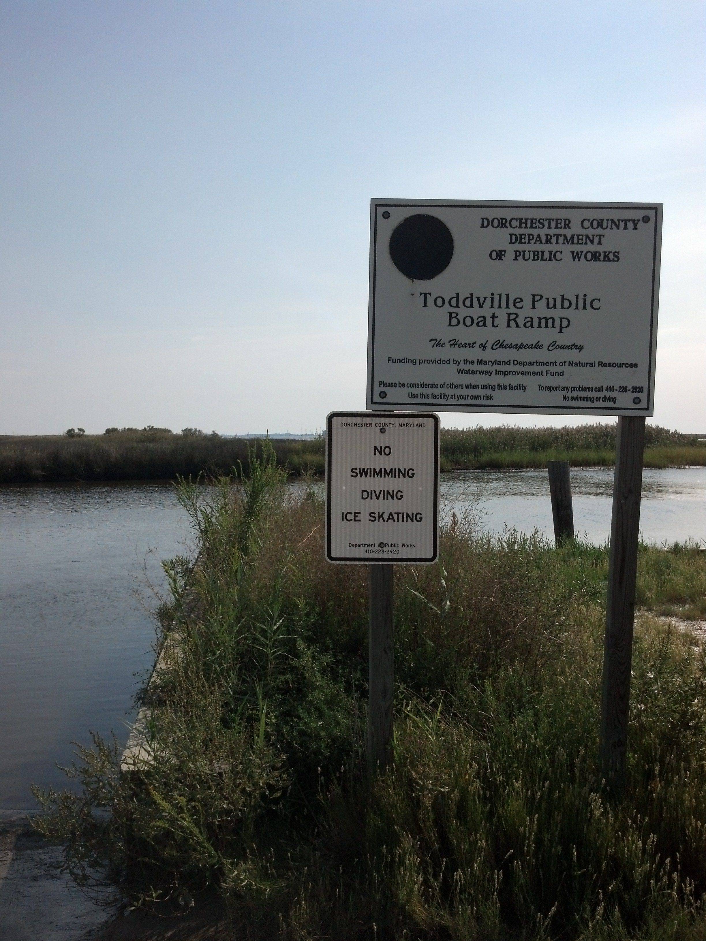 Toddville Public Boat Ramp Sign |
 Toddville Boat Ramp |
 At Toddville, the only parking is on the shoulder. |
 Fishing Creek in Toddville |