
![]()
![]()
![]()
Directions: For directions, please visit this map.
Use: Small boats, canoes, kayaks
Water: Brackish
Current: Medium/Strong. Area may experience strong tidal currents; tall waves from wind possible
Depth: Deep. When heading upstream, there is 10’ clearance under the Bestpitch Bridge and a 2’ clearance under the Decoursey Bridge
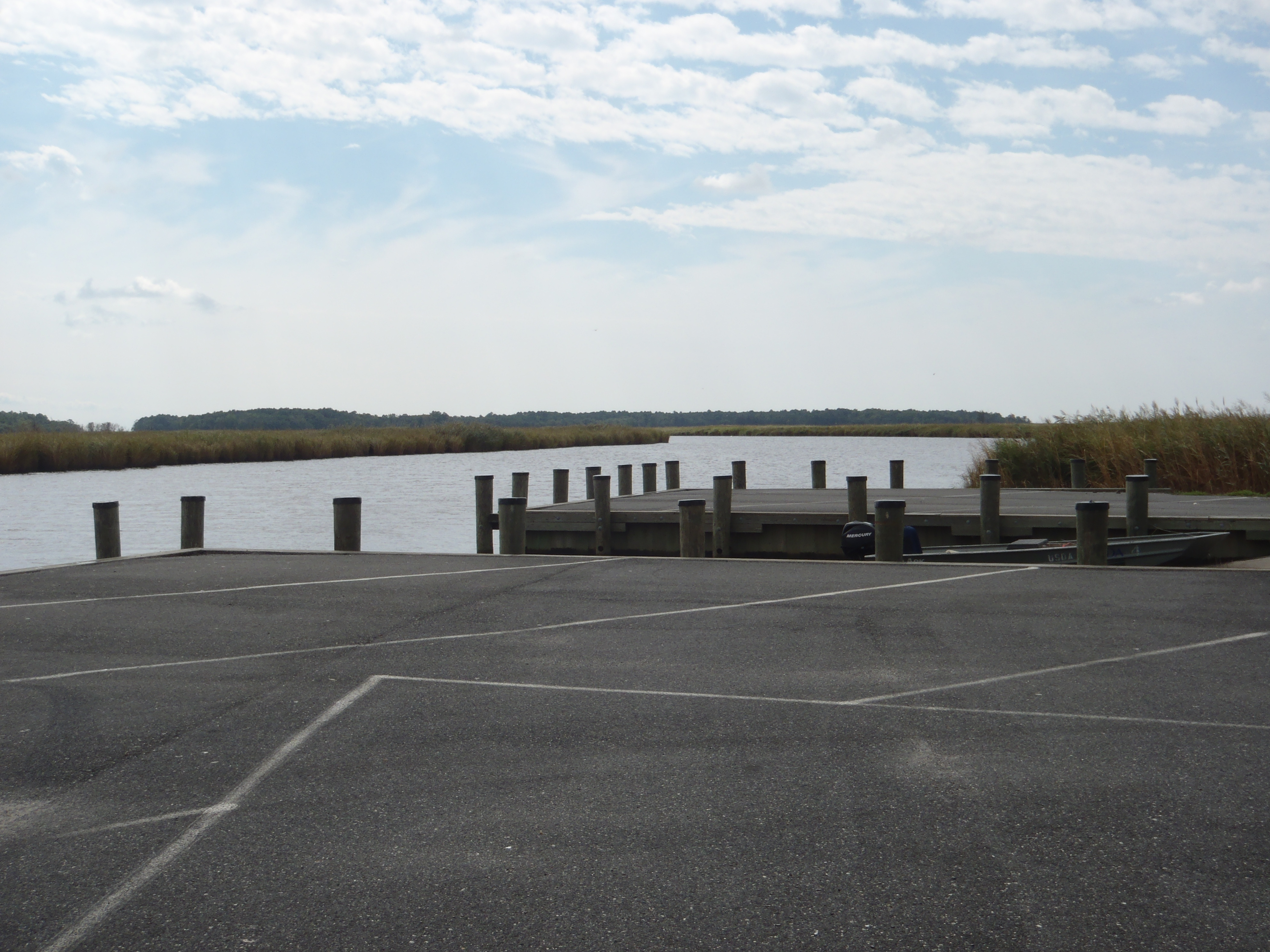
Parking: Yes.
Restrooms: No.
Fees: No
Managed by: MD DNR
Accessible: Yes
Boat Ramp or Pier: Yes
Picnic Area: No
Swimming: No
Special Notes: Paved road on the west side of the Bestpitch Bridge leads south to the access site. High Tide may cause flooding on the roads in the area. Additional information about this access site, provided by MD DNR, is available here.
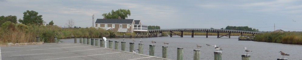
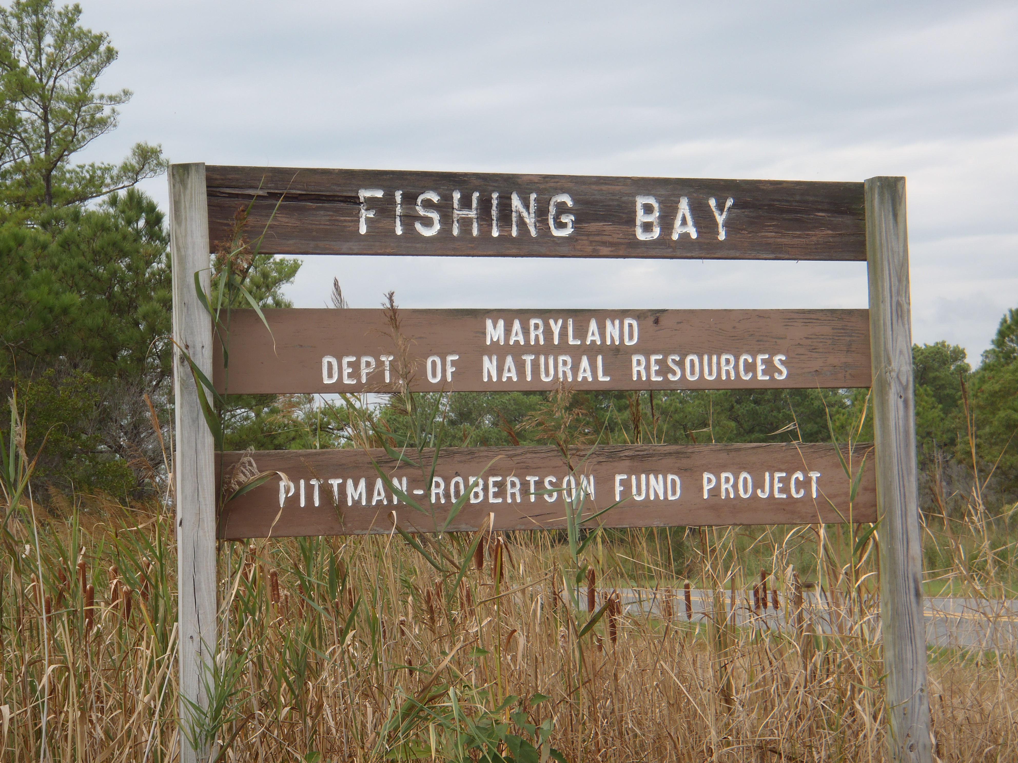 Bestpitch is part of the Fishing Bay Wildlife Management Area. |
 The Bestpitch Boat Ramp is suitable for small boats and experienced paddlers. |
 Bestpitch is the launching point for the Fishing Bay Wildlife Management Area’s Transquaking River Loop Trail. |