
![]()
![]()
![]()
![]()
Directions: For directions, please visit this map.
Use: Wide boat ramp suitable for larger vessels. There are active workboats in the area and a shipping channel. The water is open and wide, and paddlers should exercise caution at this location. Paddling during high winds is not recommended. Paddlers should be mindful of tides in terms of both paddling and for driving purposes. Many roadways can be flooded during high tides, as marsh abuts many stretches of roadway from the Blackwater NWR south to Crocheron. Paddlers will see the Hooper Island Light, an active lighthouse in the Chesapeake Bay, on the right while driving on Crocheron Rd. toward the boat ramp.
Water: Brackish
Current: Strong
Depth: Shipping channel with active workboats nearby.
Parking: Yes. Paved area with irregular, unmarked spaces.
Restrooms: Port-o-potty
Fees: No
Managed by: Dorchester County Dep’t of Public Works, Highway Division
Accessible: No
Boat Ramp or Pier: Yes
Picnic Area: No
Swimming: No
Special Notes: Launch is near mouth of Tedious Creek, which empties into Fishing Bay beyond breakwaters.
Additional information about this access site, from MD DNR, is available here.
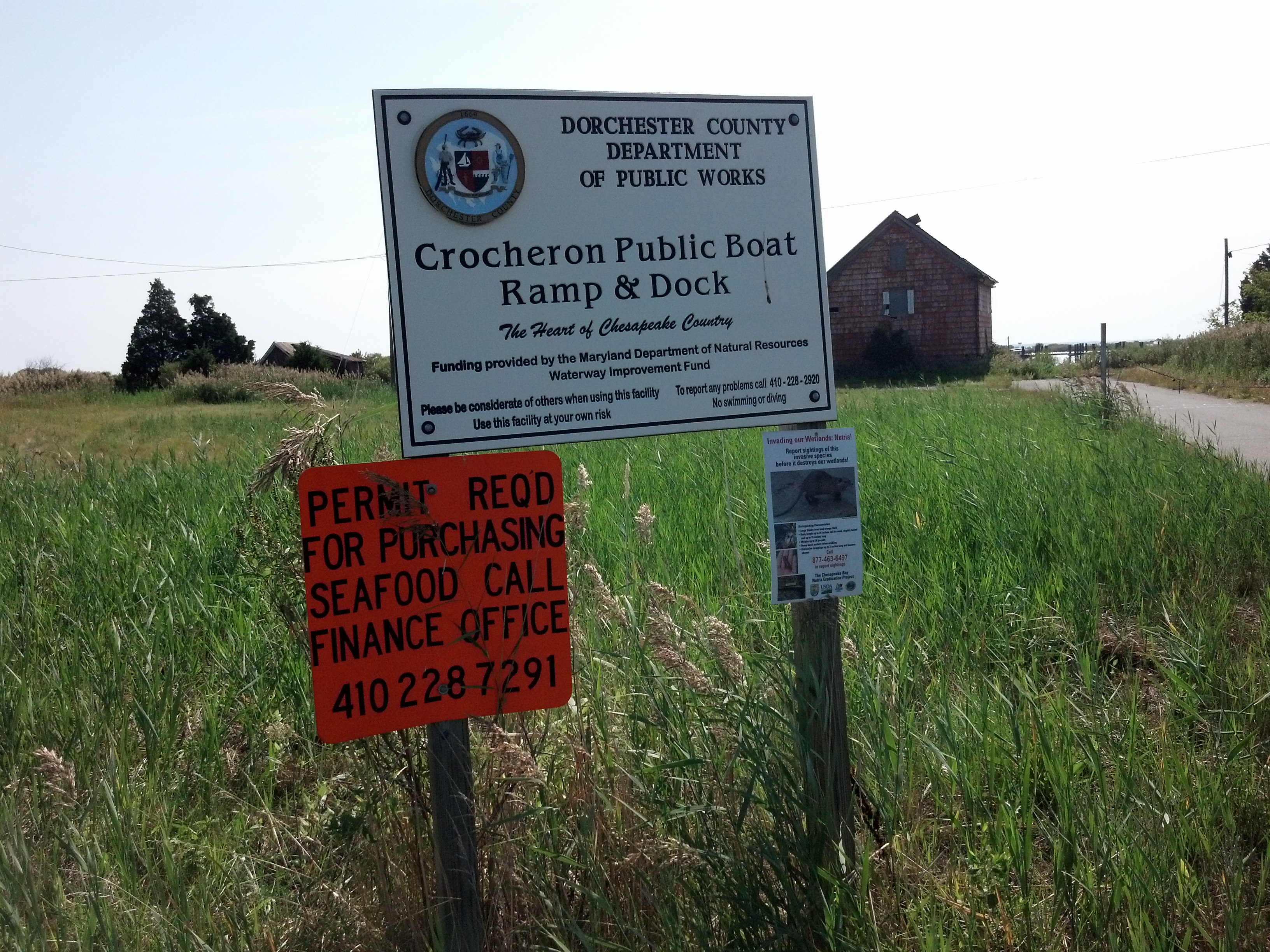 Crocheron Boat Ramp sign |
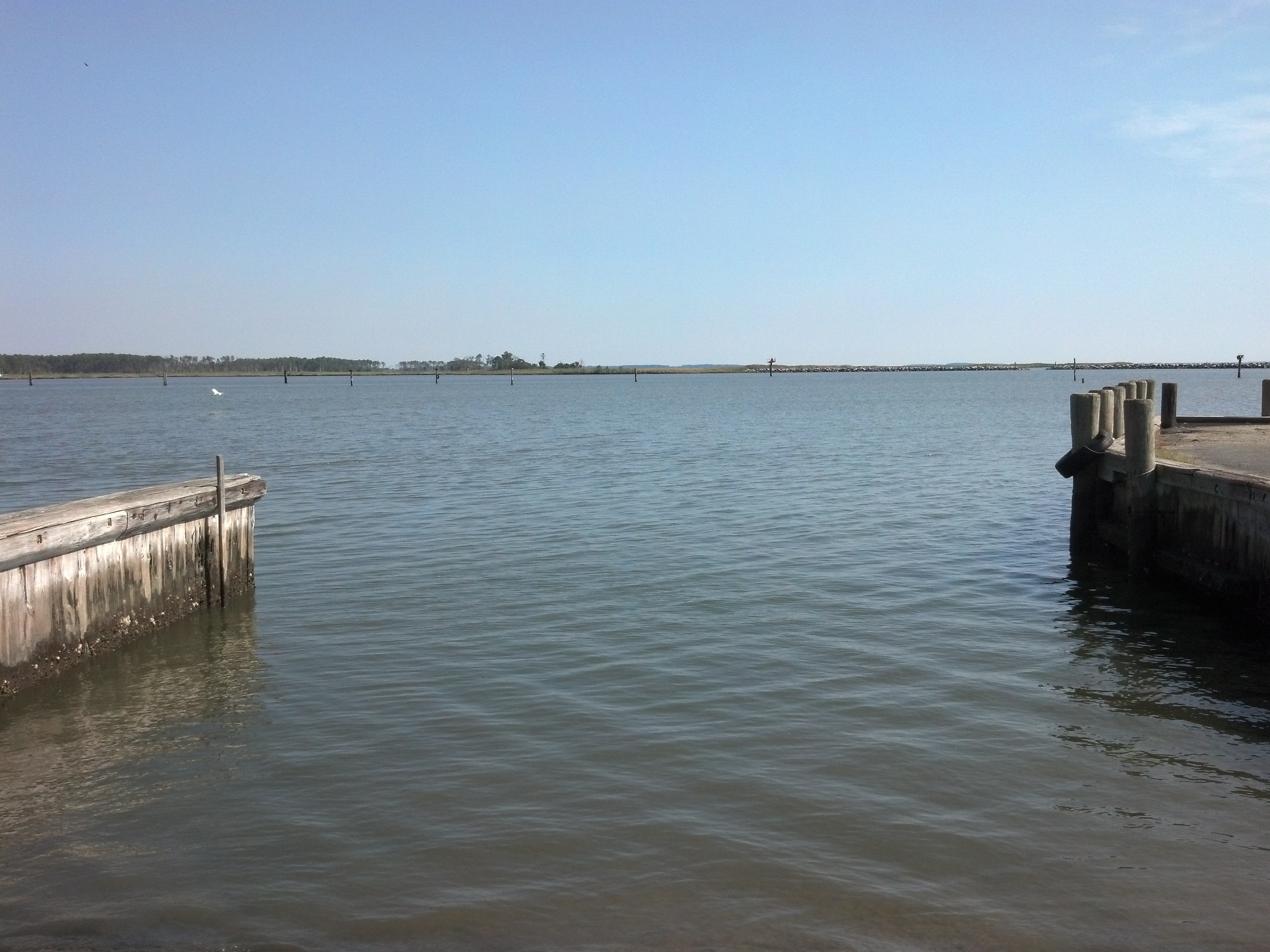
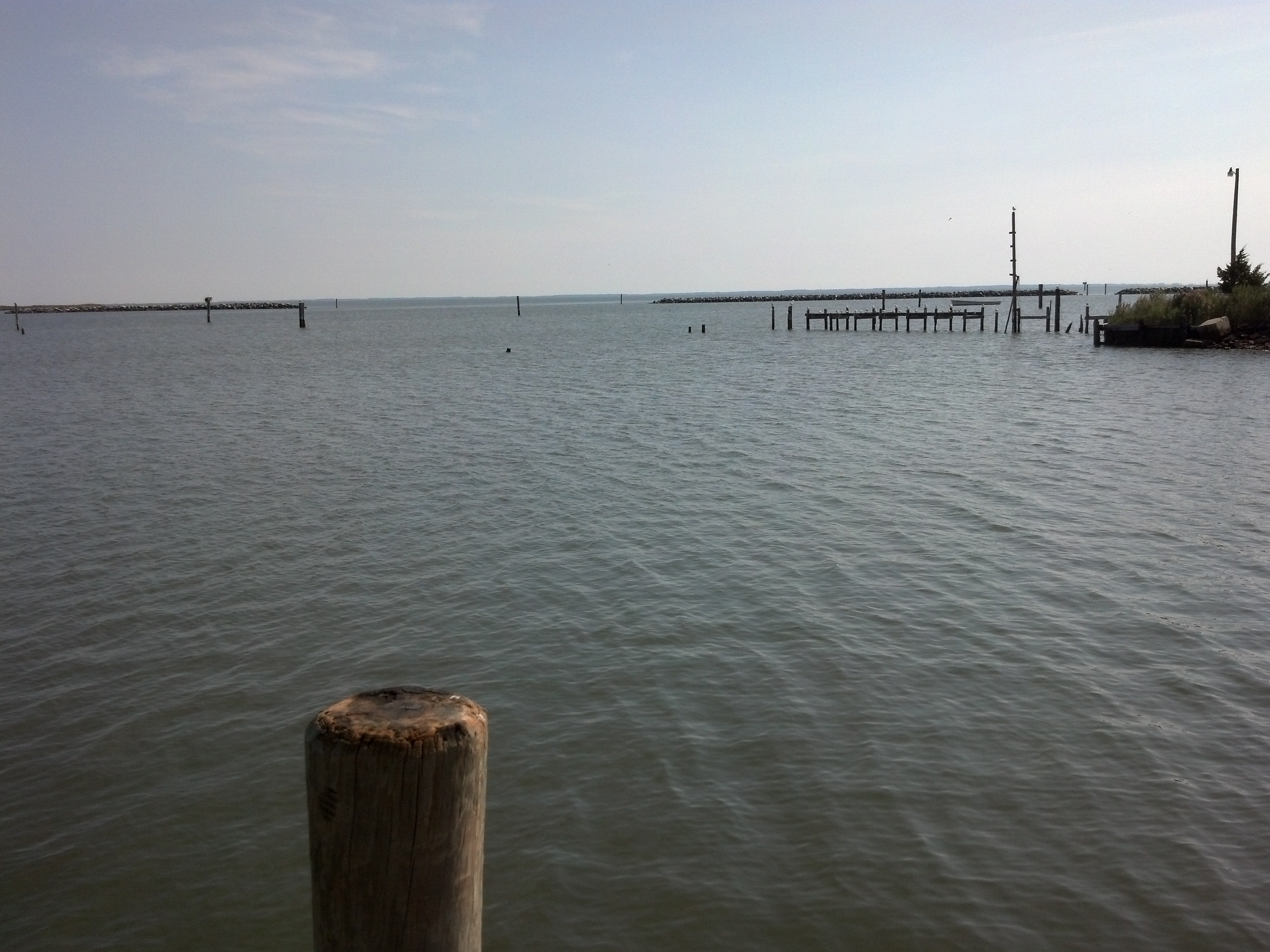 The view from the boat ramp toward the breakwaters and Fishing Bay beyond. |
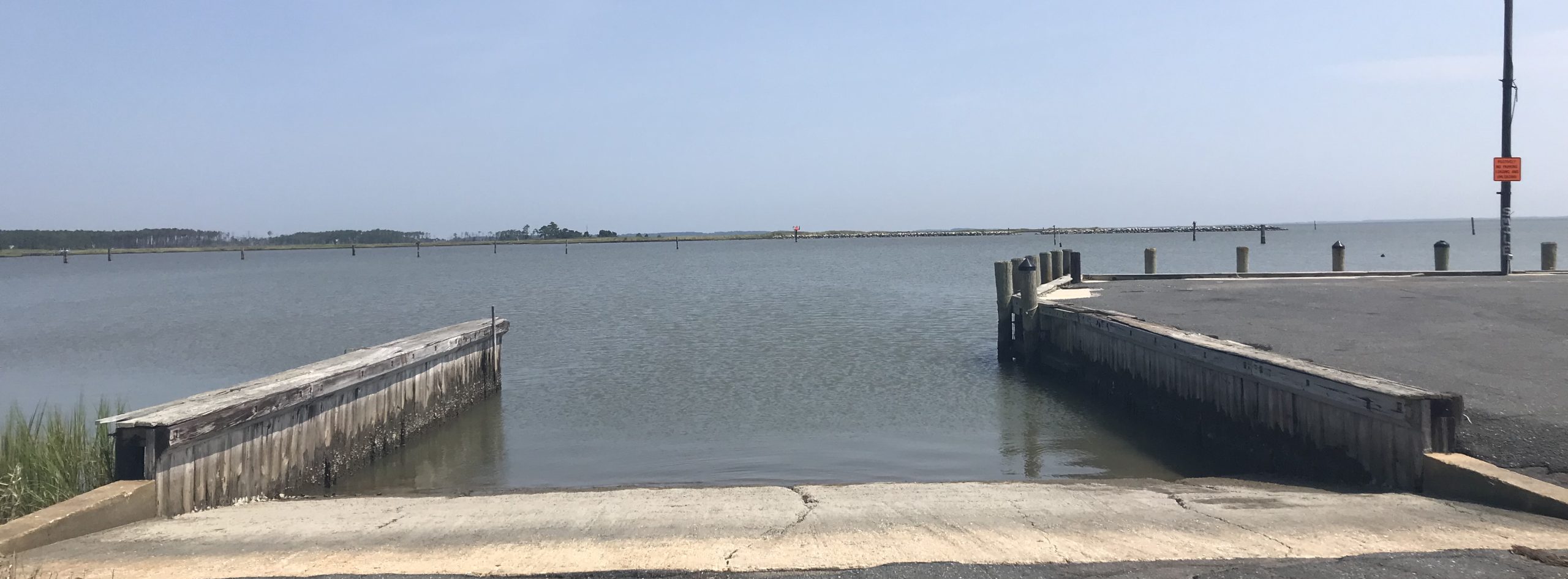
 The Crocheron Boat Ramp is deep and wide. It is most suitable for larger boats and experienced paddlers only. |