
![]()
![]()
![]()
Directions: Follow Elliott Island Rd almost to end, then turn left onto Wharf Rd; follow Wharf Rd to end. For directions, please visit this map.
Use: Small to medium-sized power boats, canoes, kayaks
Water: Brackish
Current: Strong
Depth: Deep
Parking: Yes
Restrooms: Porta-potty
Fees: No. Boat slips available for a fee.
Managed by: Dorchester County Dep’t Public Works, Highway Division
Accessible: No
Boat Ramp or Pier: Yes
Picnic Area: No
Swimming: No
Special Notes: High tide may cause some surrounding roadways to flood. Additional information about this access site, from MD DNR, is available here.
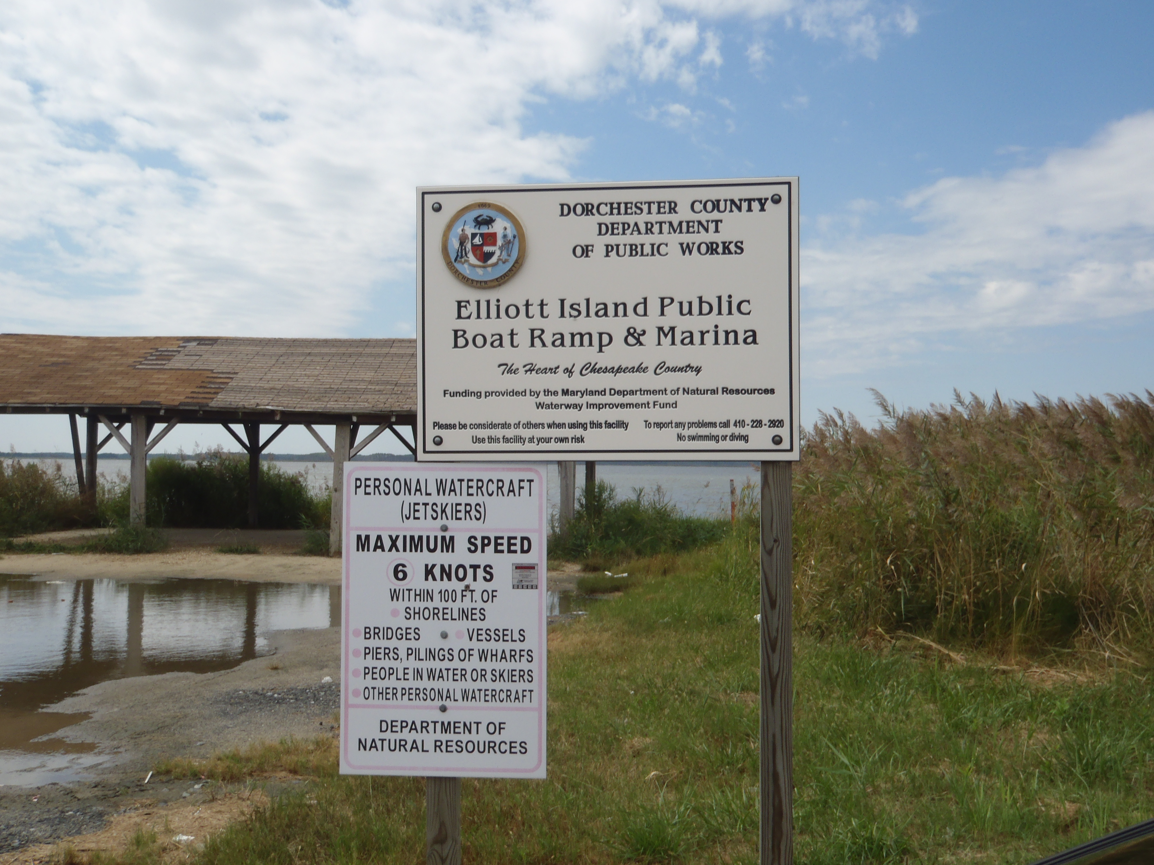 Elliott Island Public Landing sign |
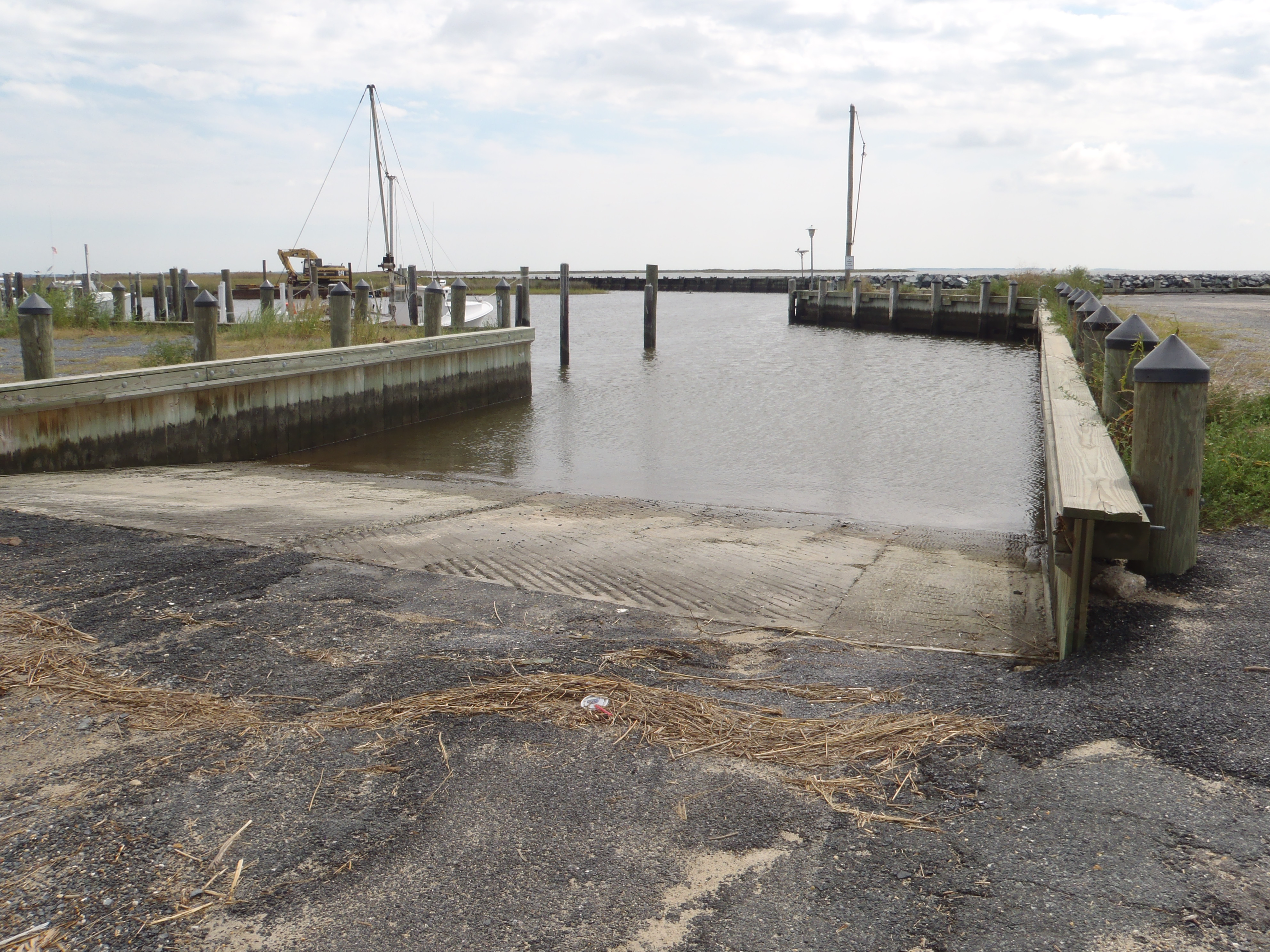 Elliott Island Public Landing boat ramp |
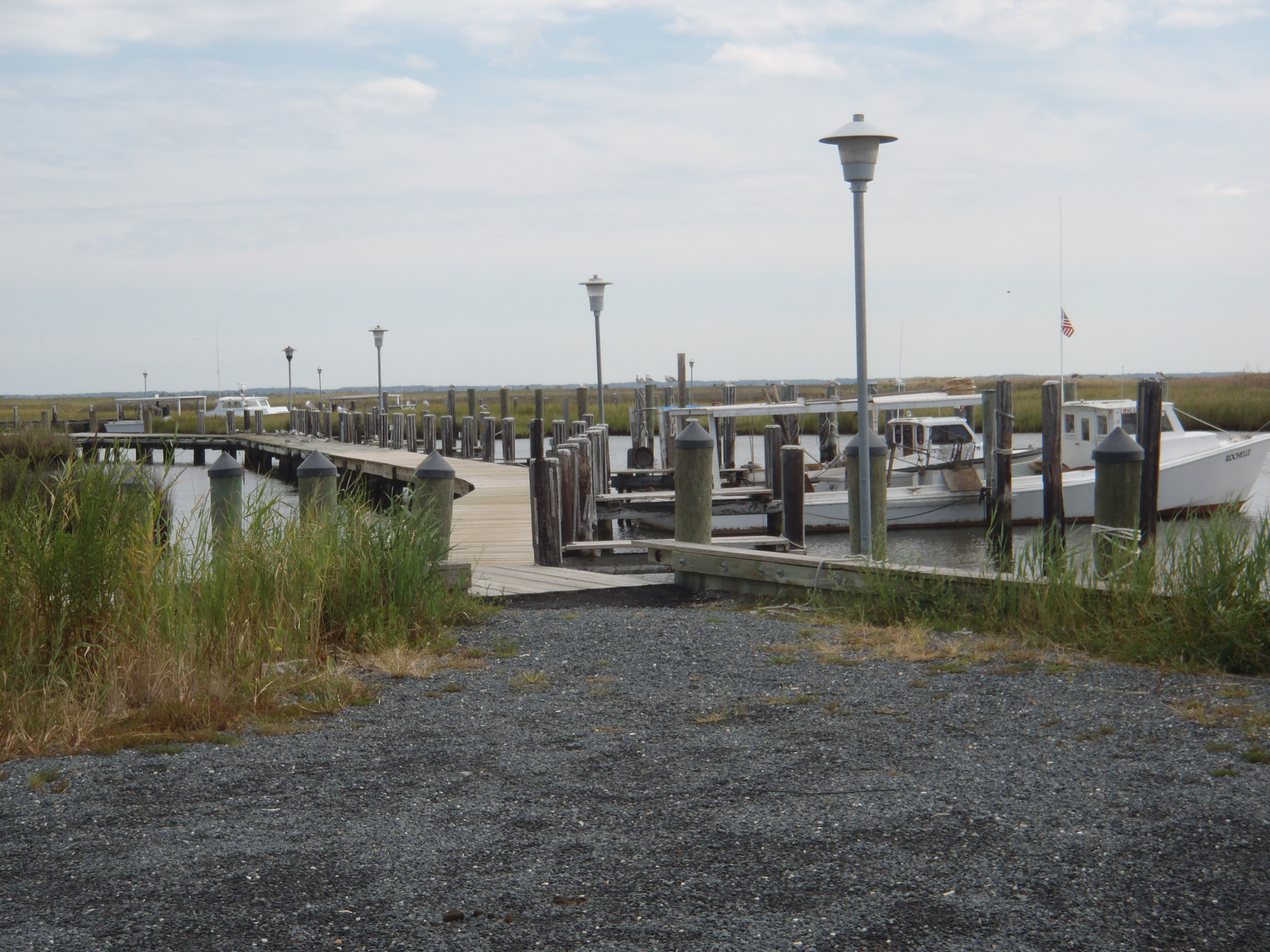 The Public Landing also features a marina, with slips available, for a fee. |
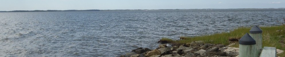
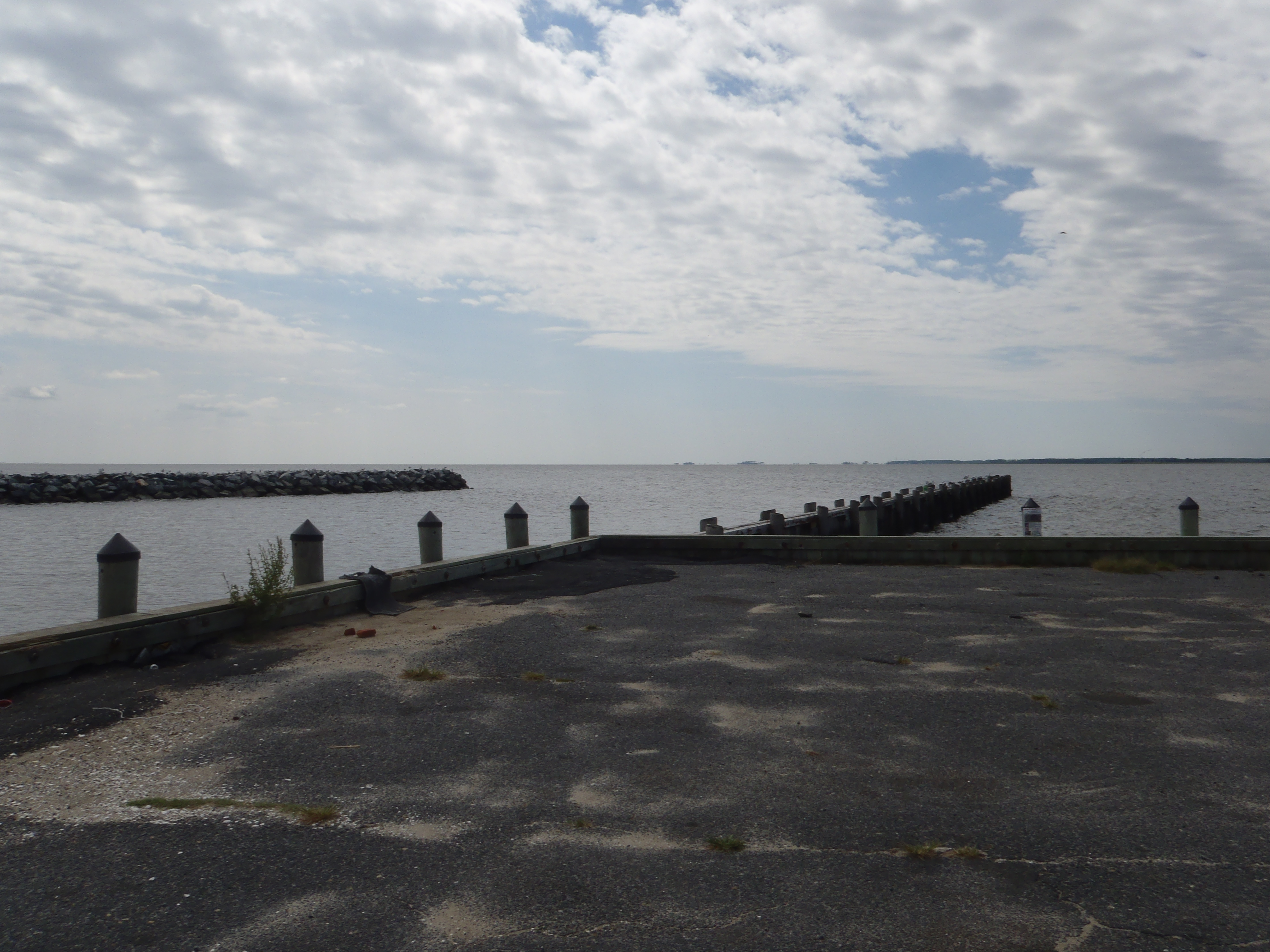 The view from the marina and boat ramp, looking out into Fishing Bay. |