
![]()
![]()
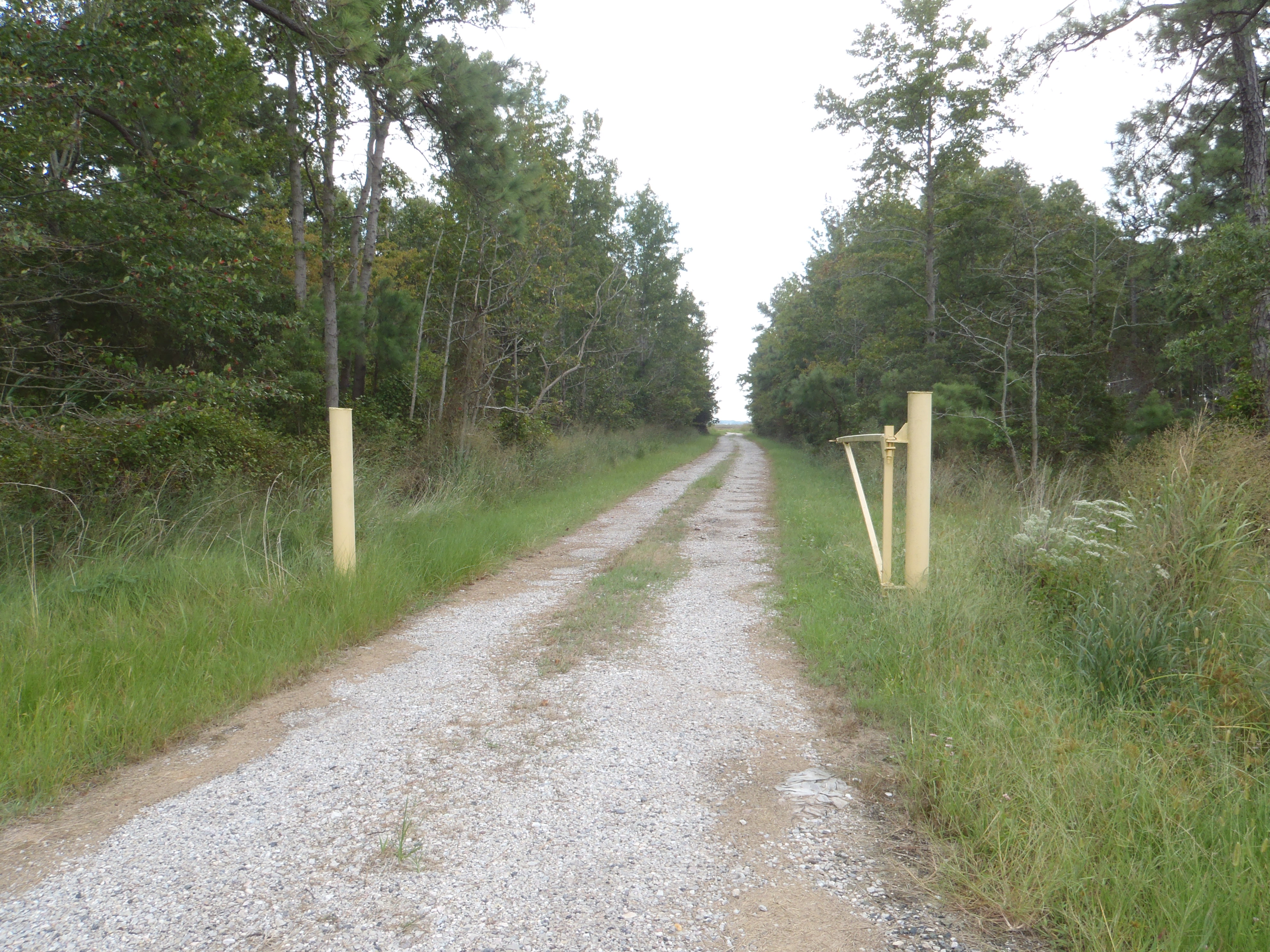
Directions: Langrells Creek is located down a gravel access road that branches off of the left side of Elliott Island Road when heading south. The access road is unmarked, but can be recognized by a yellow gate. For directions, please visit this map.
Use: canoes, kayaks. The ramp is cut into the ground, so it may be very muddy, but is a soft landing.
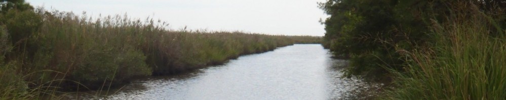
Water: Tidal Brackish.
Current: Weak until you reach either Fishing Bay or the Nanticoke River, where it is strong
Depth: Relatively shallow
Parking: Yes
Restrooms: No
Fees: No
Managed by: MD DNR
Accessible: No
Boat Ramp or Pier: No
Picnic Area: No
Swimming: No
Special Notes: Creek leads to Fishing Bay. Other branches lead to Nanticoke River. Low tide may restrict access from launch to the creek. High tide may cause surrounding roadways to flood. Gravel access road with a yellow gate on the east side of Elliott Island Rd. Additional information about this access site, provided by MD DNR, is available here.
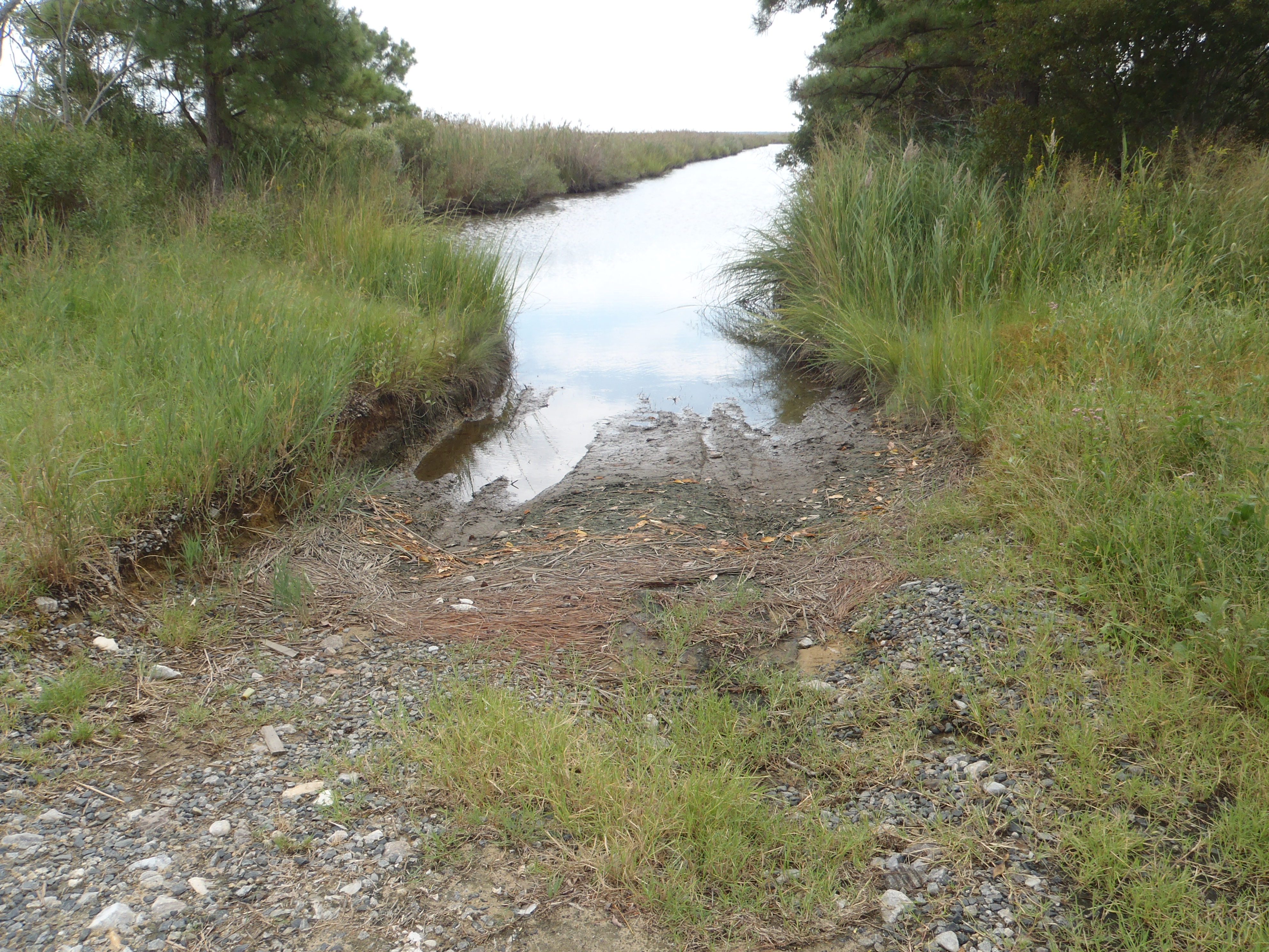 Langrells Creek offers a soft landing for paddlers. |
 Langrells Creek is also part of the Fishing Bay Wildlife Management Area. |