
![]()
![]()
Directions: This access site is located on the right side of the road, just after Fishing Bay sign on Elliott Island Road, when heading south. For directions, please visit this map.
Use: Motorboats, canoes, kayaks.
Water: Brackish
Current: Strong
Depth: No portage necessary
Parking: Yes. Some parking along shoulder.
Restrooms: No
Fees: No
Managed by: Maryland Department of Natural Resources – Wildlife and Heritage Service
Accessible: No
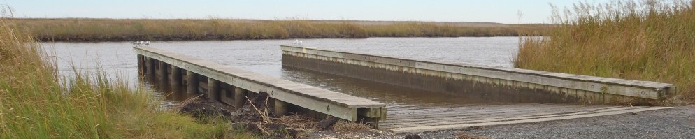
Boat Ramp or Pier: Yes. Concrete ramp.
Picnic Area: No
Swimming: No
Special Notes: Flooding may occur during high tide or after heavy rains.
Additional information about this access site, provided by MD DNR, is available here.
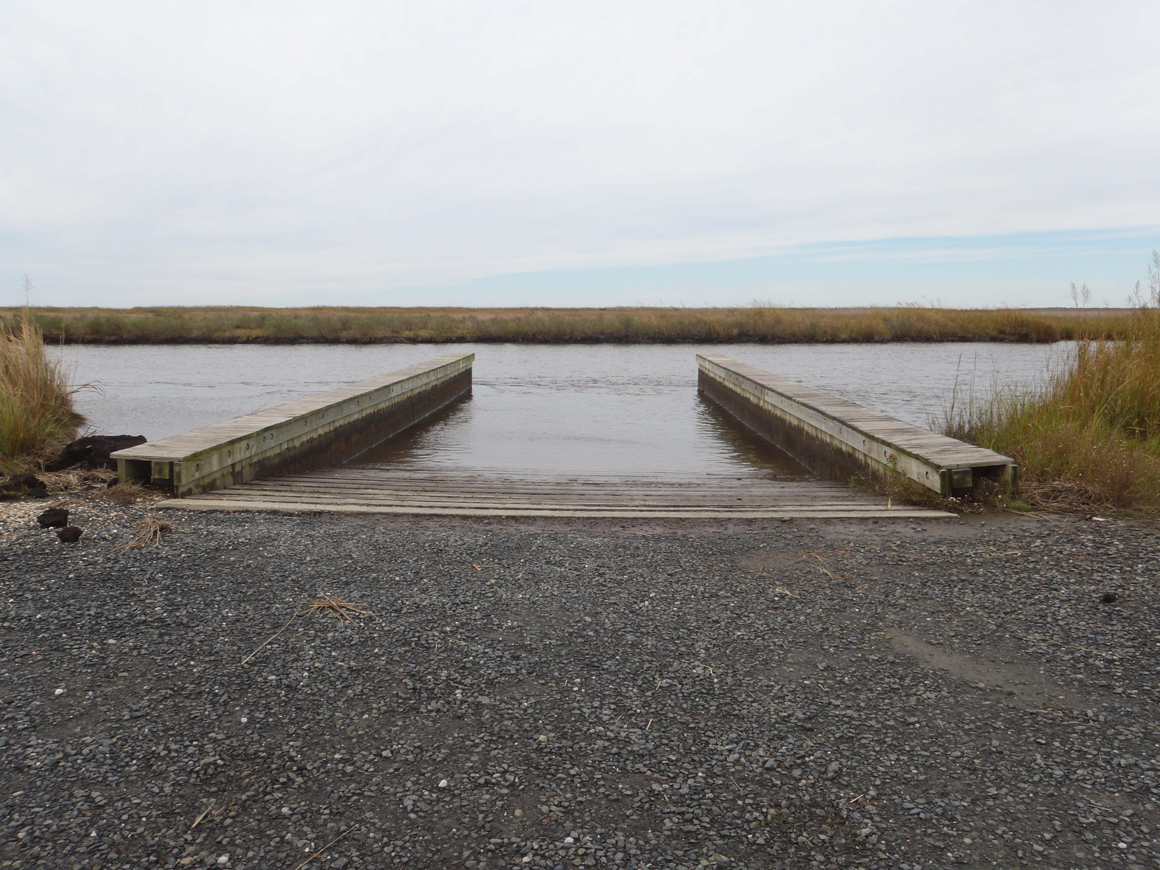 Elliott Island Road Boat Ramp |
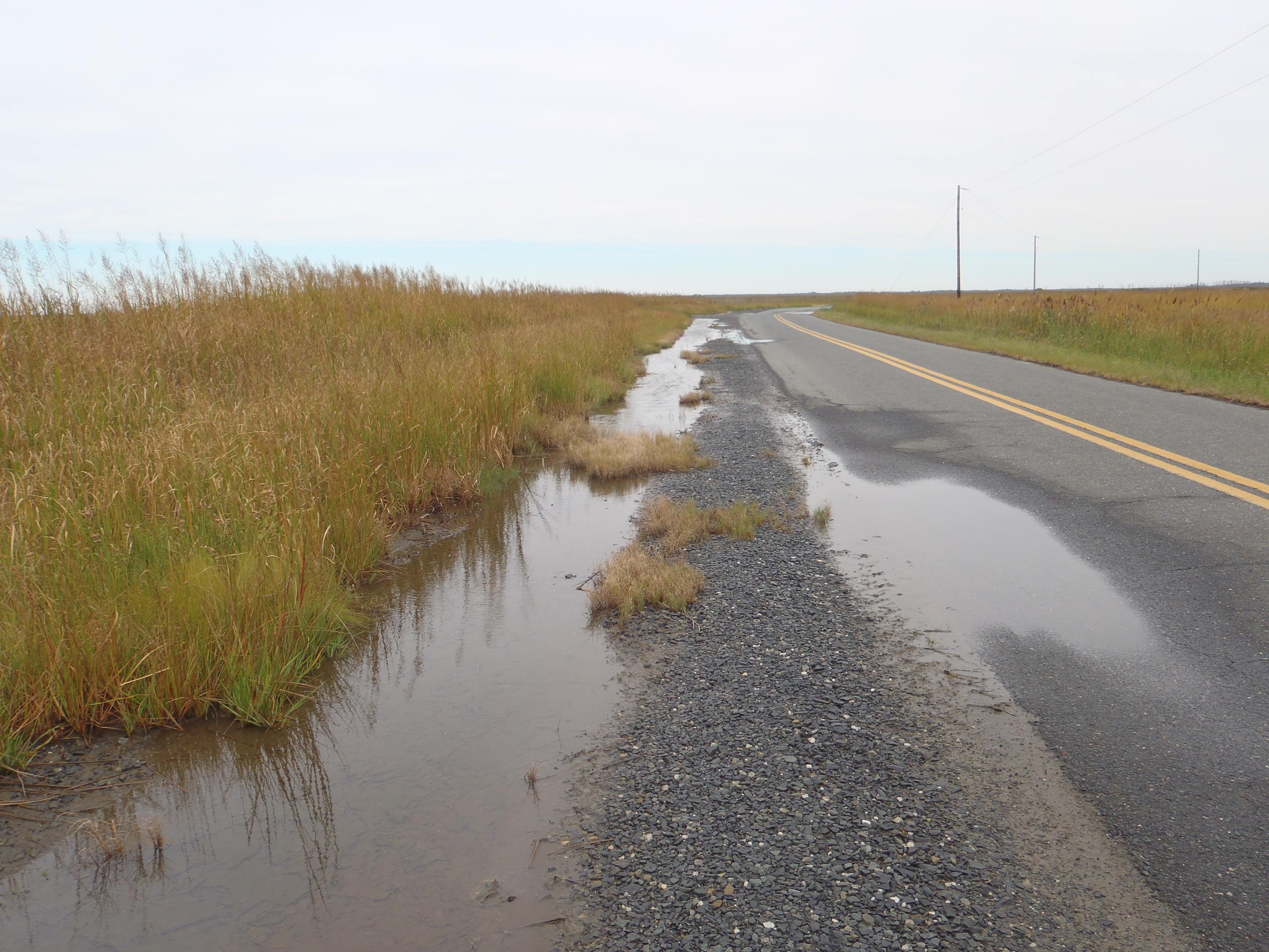 The only parking at Elliott Island Road is a widened shoulder area. The area may flood at high tide or after heavy rains. |
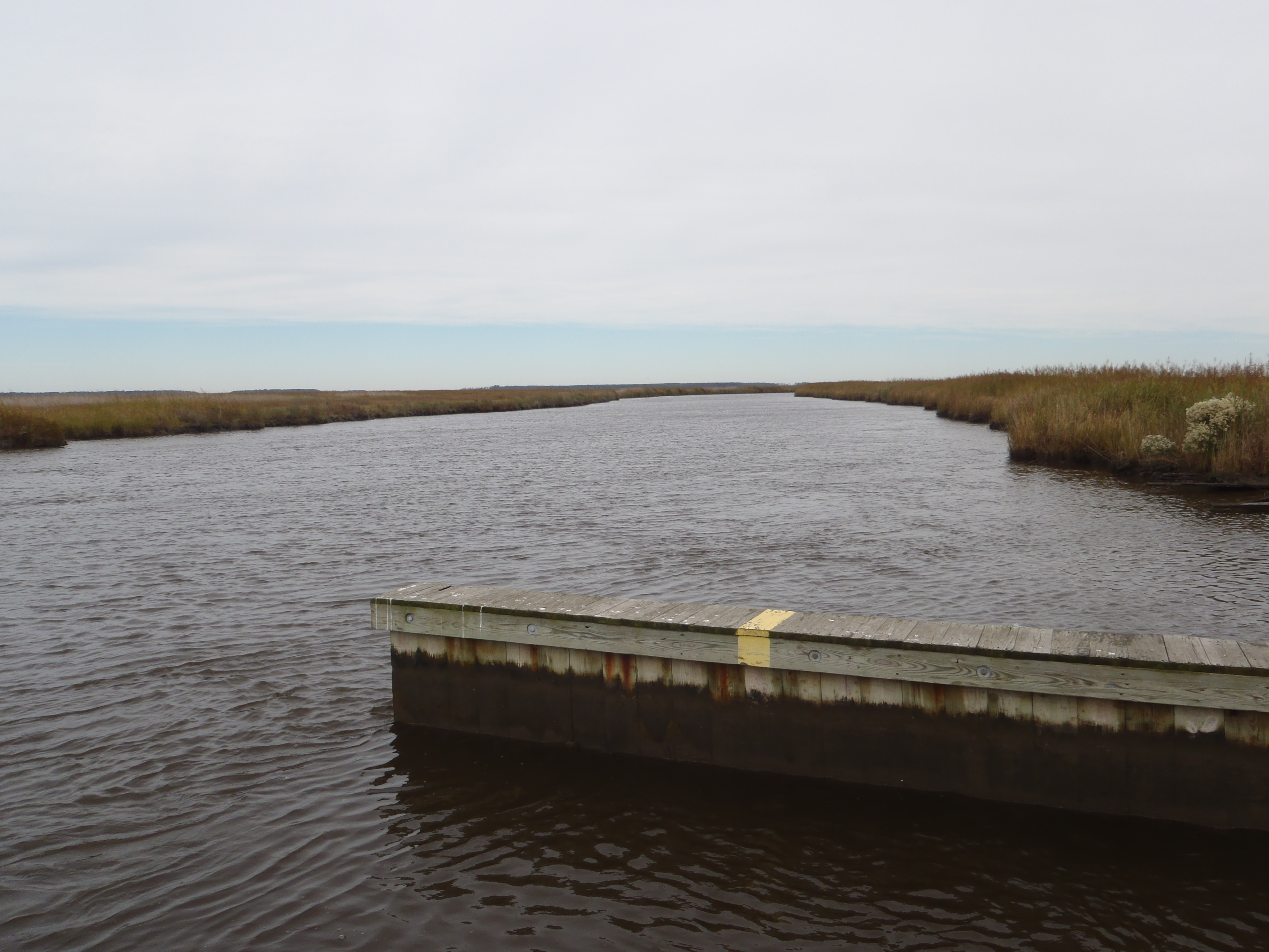
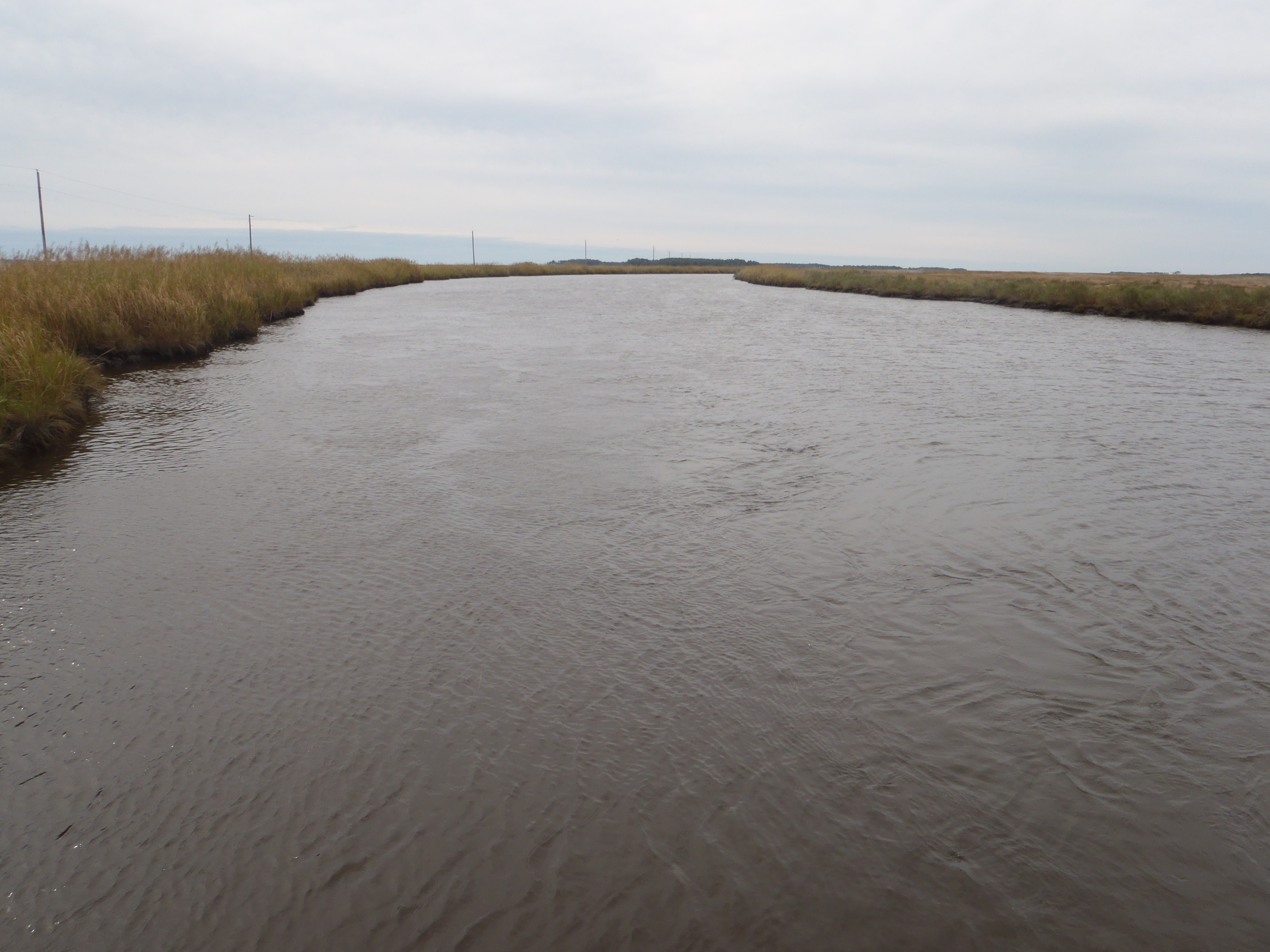 View South from Elliott Island Road Boat Ramp |
 View North from Elliott Island Road Boat Ramp |