
Duration: 1-3 hours one way; 2-6 hours roundtrip
Distance (one way): 1-4 miles
Location: Wetipquin Park Boat Ramp (Hard landing, parking, restrooms)
Alternative Location: Tyaskin Wharf (Hard landing, parking, restrooms)
Difficulty: Beginner/Intermediate
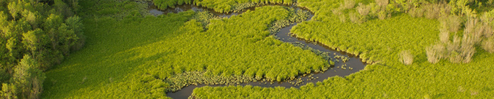
Wetipquin Creek is a relatively short, meandering tributary of the Nanticoke River. The mouth of the creek is very wide, so be sure to check the tides and weather before setting out. Certain conditions could result in high waves or a strong current, which might slow your progress near the mouth of the creek.
When you set out from the Wetipquin Park, the Nanticoke River will be on your left. If you head upstream, you will notice that immediately east of the Wetipquin Road Bridge, the river splits. Either direction will take you on a beautiful route along salt marshes and forests. Eagles are frequently spotted along both creeks.
The northern fork is the main stem of Wetipquin Creek. The creek is approximately 3 miles from the Nanticoke Bridge to the Wetipquin Road Bridge as the crow flies, but it will be more like a 4 mile paddle upstream for those of us without wings. About three miles upstream, just past Horner Gut, you can see the Long Hill Plantation on your left. The Long Hill Plantation was reportedly built by a man named James Dashiell in the mid-1700s and remained in his family until 1884. It is now listed in the National Register of Historic Places.
Wetipquin Creek continues along from the Nanticoke Bridge if you head to the right at the fork. The creek will become unnavigable before you reach its head, but if you were able to follow the creek all the way upstream, you would find yourself in an area of Chesapeake Forest Lands named Whitehaven Tract. Exercise caution if you plan on paddling in the vicinity of the Nanticoke Bridge, or further upstream. In these areas, the creek serves as the boundary for the Wetipquin Wildlife Management Area (it will be on your right as you paddle upstream), a popular destination for hunters seeking white-tailed deer, gray squirrels, and wild turkeys.
Returning to the mouth of the Wetipquin Creek, you may recall that we alluded to a second option for heading upstream at the Wetipquin Creek Bridge. The southern fork is the Tyaskin Creek, which winds its way upstream for about 1.5 miles. With all the meanders, you will probably find yourself paddling for 2-3 miles before the creek becomes unnavigable. Tyaskin Creek will take you under one bridge and past some waterfront homes, but the vast majority of your paddle upstream will be past pristine marshland and forest. This is a great paddle for beginners, and for those interested in birding or just enjoying the sights and sounds of a natural setting.
Historically, this area was an important source of fish, crabs, and oysters for the Nanticoke people. Wetipquin was probably the location of a Native American town, much like Vienna is located close to what was the site of a Chicone village. Much of the area has not been developed, and a paddle up either creek can give you a glimpse of what the area might have looked like to Native Americans who may have paddled the same route over three hundred years ago.
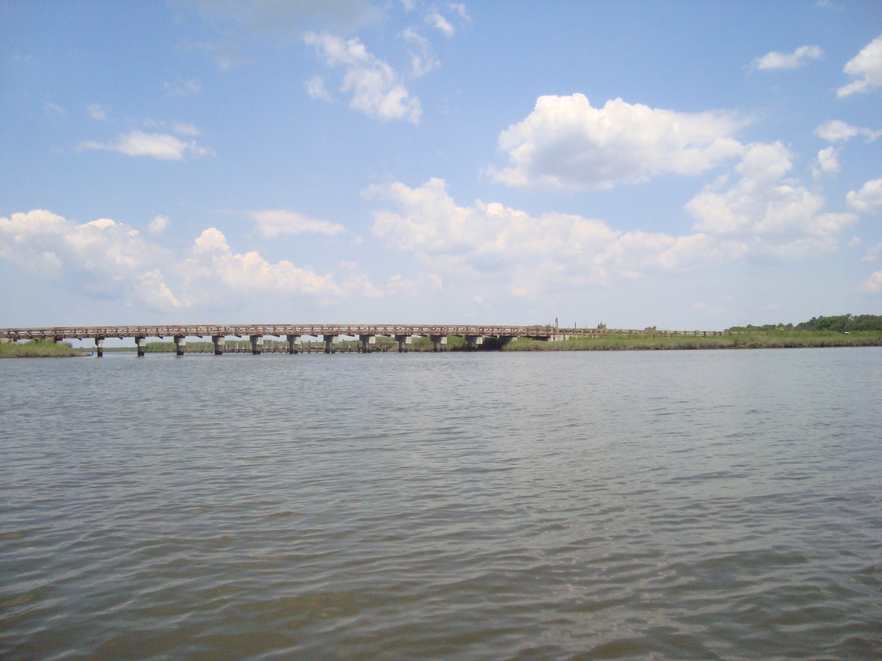 The Wetipquin Road bridge, as seen from upriver. |
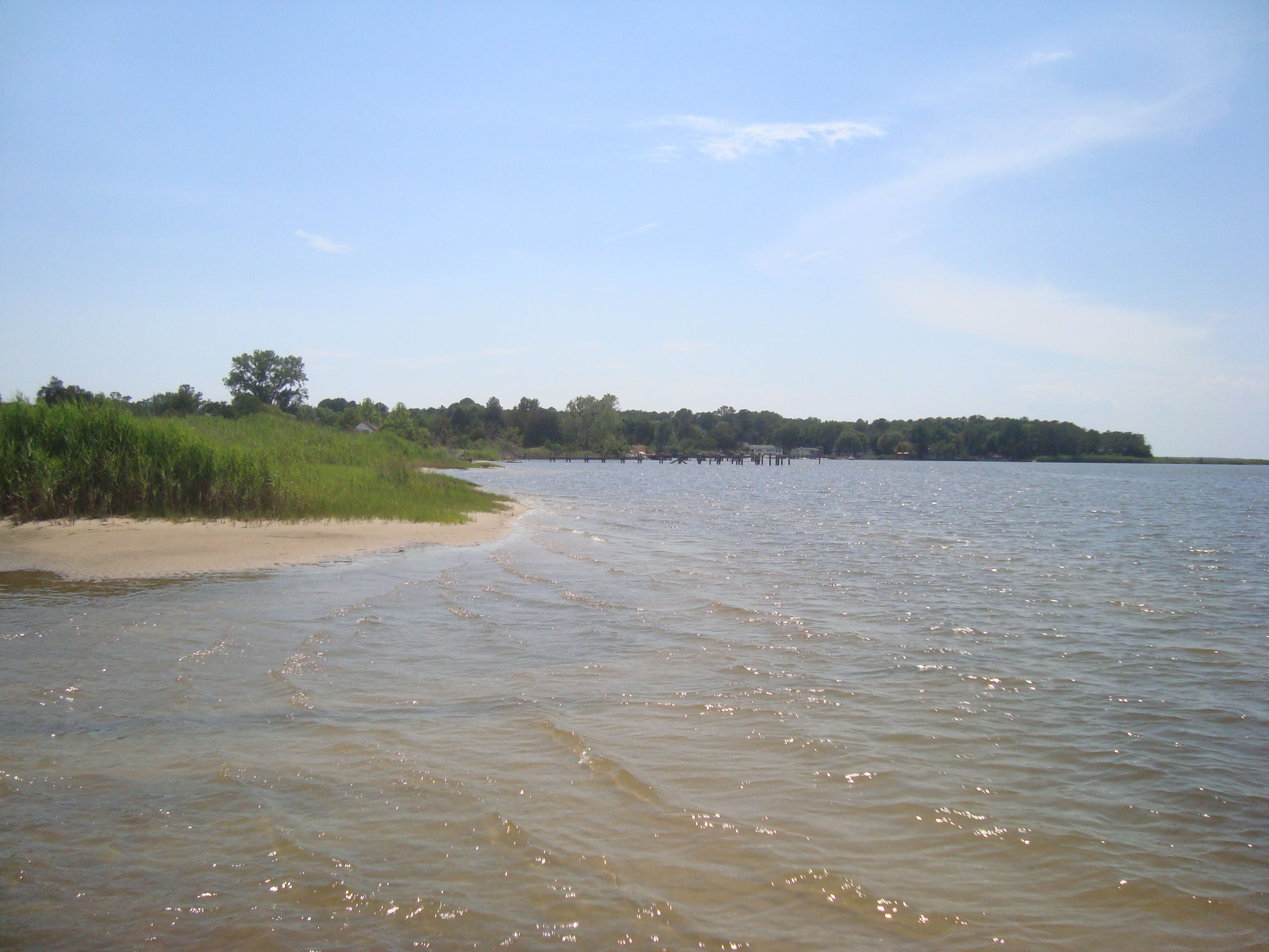 Near the mouth of the Wetipquin, the wind, waves, and tide may make for a more challenging paddle.
|
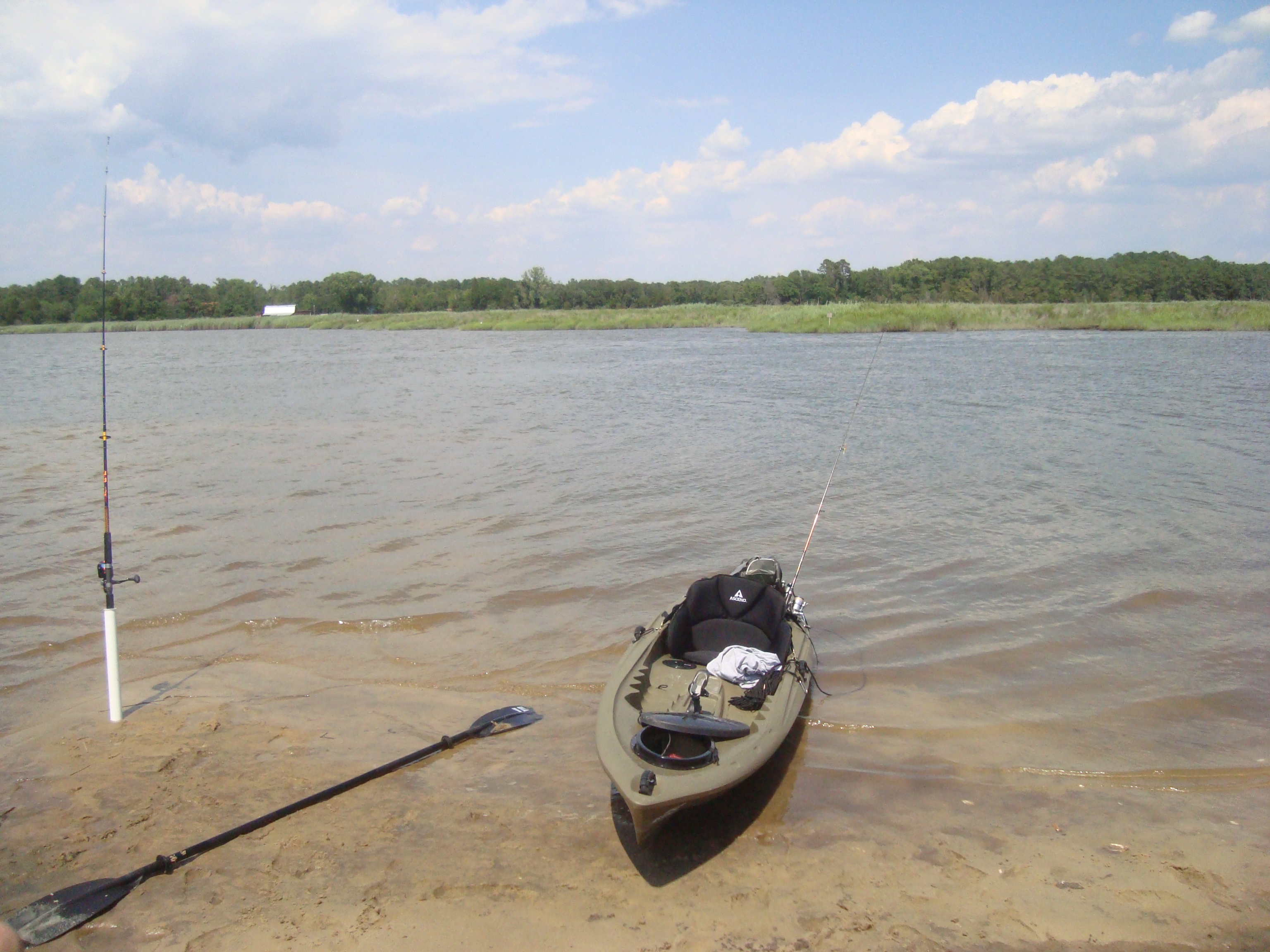 Fishing is regulated by different agencies, depending on where you are along the creek. |
Links to attractions in Tyaskin:
Wetipquin Wildlife Management Area – http://www.dnr.state.md.us/wildlife/Publiclands/eastern/wetipquin.asp
Long Hill – a Salisbury University publication – http://www.salisbury.edu/newsevents/shoreline/2011/Mar-Apr/Shoreline_Mar_Apr_11_Layout1-FINAL.pdf
http://www.wicomicocounty.org/departments/planning_zoning/compplan/CountyCP_CHAPTER%2010%20Historic%20and%20Cultural%20Resources_9162010.pdf – has brief paragraph on Long Hill: Long Hill (Wetipquin): Long Hill is architecturally significant because it is an essentially untouched Maryland dwelling, dating from the second half of the 18th century, with excellent original paneling and a simple elegance. The house derives historical significance from its long association with the Dashiell family, several of whom took an active part in the affairs of the colony.
More information is also available under the “Along the Trail” tab in the menu at the top of the page.
Attractions near this trip itinerary can be found under the “Wicomico County” drop-down on each subpage.